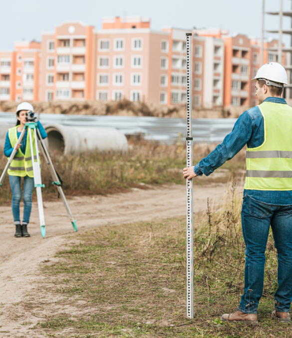
We provide accurate topographical and boundary surveys essential for planning, design, and legal documentation. Using advanced surveying equipment, our team maps land features, property lines, and elevation data to ensure precision and compliance for every project.
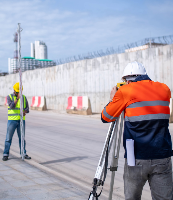
Our infrastructure surveys deliver detailed data for the planning, design, and maintenance of roads, bridges, and utility networks. Using advanced surveying technology, we ensure accuracy, and compliance with engineering standards—supporting successful infrastructure development.

We offer precise building and as-built surveys to document existing structures for renovation, legal, or compliance purposes. Our detailed measurements and accurate drawings reflect the current conditions of your property, ensuring seamless integration with future design, construction.

Ensure the safety and efficiency of your construction projects with our expert Pipe & Underground Utility Detection services. Using advanced technology like Ground Penetrating Radar (GPR) and electromagnetic locators, we accurately identify and map underground utilities such as water, gas, and electricity lines.

Using advanced laser technology, we capture highly accurate, detailed 3D data of your site, creating precise digital models. Whether you're planning a new villa, surveying land, or assessing existing structures, our 3D scanning provides quick, non-invasive, and highly accurate measurements. This service enhances project planning andefficient design.
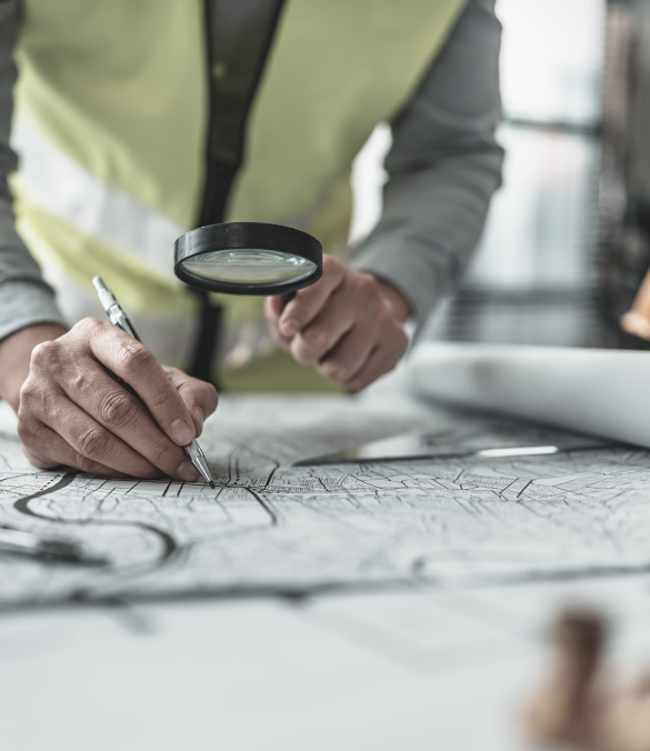
Unlock the power of precise location data with our GIS Mapping & CAD Drafting services. We combine Geographic Information Systems (GIS) technology with Computer-Aided Design (CAD) drafting to deliver accurate, detailed maps and digital models for your construction and surveying projects. Our service provides high-quality, easy-to-understand visualizations.
Choose Nice General Contracting and Land Survey for your next project and experience the difference that precision, excellence, and cutting-edge technology can make.
WhatsApp us